Upper Midwest
Multi-state FarmGrid work extending the corridor model outward.
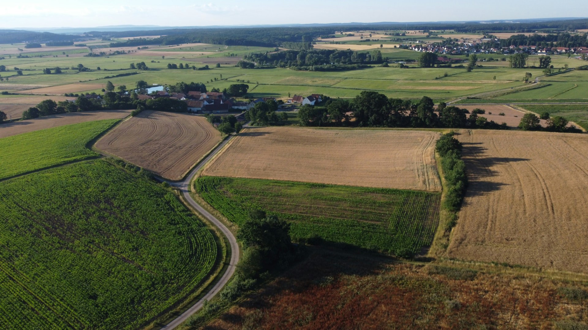
Extending the corridor model across the region.
TerraEdge’s model is designed to extend into additional Upper Midwest agricultural communities through strategic infrastructure and technology partnerships.
- Regional assessments of geography and existing infrastructure
- Connectivity and backhaul for underserved rural areas
- Edge resources for agricultural and sensing workloads
- Capacity that expands as communities grow
How we work in Upper Midwest.
Repeatable corridor design
The approach proven in North Dakota is designed to be assessed and adapted for new agricultural communities.
Multi-state field work
Leadership experience includes Dakota and Minnesota field operations and multi-state FarmGrid work.
Partner-led expansion
New sites are developed alongside infrastructure, wireless and application partners as demand justifies.
One connected infrastructure platform.
From assessment to operating infrastructure.
Assess
Geography, existing infrastructure, connectivity needs, intended workloads and business objectives.
Design
Site, power, communications, backhaul and edge configurations built around the assessment.
Coordinate
Infrastructure, wireless, technology, application and operating partners and responsibilities.
Install & Commission
Infrastructure installed, configured and commissioned for approved workloads.
Explore more of where we work.
Planning infrastructure in Upper Midwest?
Tell us about your geography and objectives and our team will follow up to schedule a conversation.
Contact Us